Abolitionist Guide to NYC
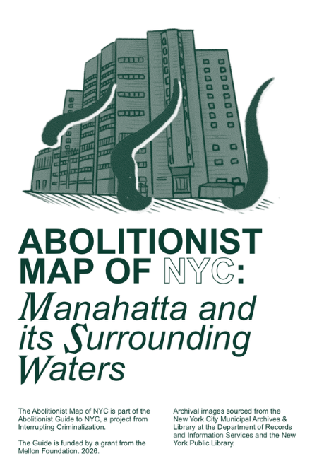
Abolitionist Map of NYC: Manahatta and its Surrounding Waters
Abolitionist Guide to NYC is a free and publicly accessible guidebook that will provide a historical and geographic survey of jails and prisons in Manhattan from the Dutch colonization of Lenapehoking to the present day. Through archival research, interviews, art and poetry, photographs, maps, timelines, personal histories from current and formerly incarcerated people, and current organizing strategies, we will demystify the formation of the prison industrial complex in New York City and highlight movements working to transform and abolish it. The goal is to provide context and resources for the concerned public, and facilitate connections for people organizing and learning today.
The first project from the guide is the Abolitionist Map of NYC, available now! The map offers a geographic survey of incarceration and anti-carceral resistance in Manahatta from the Dutch Colonization of Lenapehoking to the present day. It highlights some of the first jails and prisons to exist in the area. It traces the movement of facilities from one place to the next, and sites of rebellion against the expansion of the prison industrial complex.
It is meant to serve as a tool for abolitionist resistance grounded in a long view of the struggle, tactics and goals.